Friends of the Pleistocene Field Trip
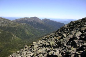 I recently attended a series of glacial geologic field trips held on Mt Washington in New Hampshire, which were organized by the Northeast chapter of a group called the Friends of the Pleistocene. The Friends are made up primarily of professional geologists and others interested in Northeast glacial geology. Events such as this are a way for geologists working in a particular area, in this case the White Mountains, to present their research and findings to colleagues and get their input while out in the field. The discussion was in depth and at times lively. For amateurs like myself, it was a great opportunity to hear from geologists at the top of their field. The event was entitled “The Alpine Zone and Cirques of Mt Washington and Northern Presidential Range, White Mountains, New Hampshire.”
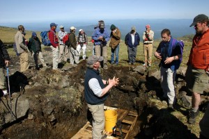 The discussion and field trips centered around the uncertainty of when the valley glacier that once occupied the Great Gulf in the Presidential Range held active, flowing glacial ice. Did this occur soon after the massive Laurentide ice sheet retreated to the north and away from the mountains? They’re still not sure of the answer. But it was clear that more research is needed, which I’m sure the glacial geologists I meet are more than pleased to do, since there’s nothing happier than a glacial geologist in his element, as I witnessed that weekend.
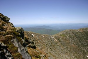 The highlight for me was a field trip down into the Great Gulf, which is a rugged, roughly 2000′ deep U-shaped, glacially carved, miles long valley, otherwise known as a cirque. This amazing valley cuts practically through the heart of the mountain range. The weather was more than perfect and the scenery couldn’t have been better. The trip started at the base of the mountain with a car ride up the Mt Washington Auto Road to the alpine zone near the top, which was an adventure in itself. On the way there, one of my fellow participants, an avid hiker who has spent much time in the White Mountains, exclaimed with understated derisiveness that he never in his life pictured himself taking that road up to the top. But there he was. I agreed with him, although for different reasons. Obviously, we rode up the mountain, as others on the outing did, for the science and the scenery. I had a fine, but arduous six hour walk down the mountain through the Great Gulf Wilderness Area. It was one of the best and most informative hikes I’ve been on.
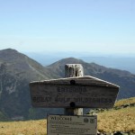
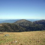
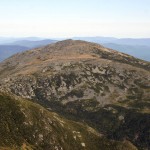
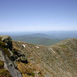
Cropped thumbnails of photographs below. Click on any photo to open to a full size image.
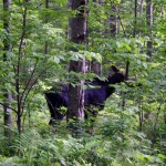
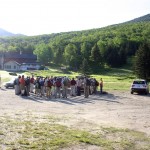
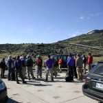
From left, Kancamagus Highway, Moose, Gathering at the bottom
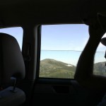
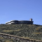
Drive up on the Auto Road, Mt Washington Observatory, Gathering at the top
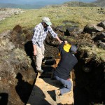
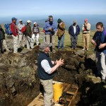
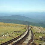
Bailing Pit, Pit Discussion, Mt Washington Cog Rail
Entering Wilderness Area, Edge of Headwall, Mt Jefferson
Great Gulf, Great Gulf Headwall, Going Down
Field Trip Leader, Great Gulf Headwall, Bottom of Gulf
Wilderness Forest, Socked in Day 2, Day 2 field trip
Discussion among Geologists, Rainy mountain weather

June 7, 2012 @ 3:59 pm
Fantastic pictures of your trip. Amazing geologic history of that period. Keep up the good work Mr. Vanover.
June 12, 2012 @ 10:20 am
Hey Old Man…I see you can stay up with the young people…Where is the photo of the valley…???